Maps
Maps and map-making are as old as civilisation and as contemporary as satellite navigation. We use maps in our daily lives, even in these days of SatNavs, and we are fascinated by views from above.
The earliest maps were made by our remote ancestors to help them locate sources of food, water, and shelter, using locally available materials. Later on, Ptolemy, Mercator, and others, made great progress by drawing more accurate maps. The invention of the printing press made maps widely available.
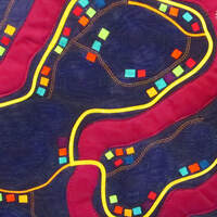
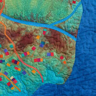
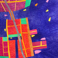
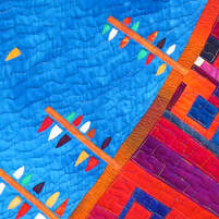
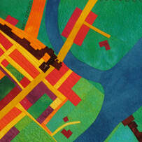
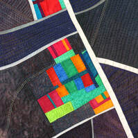
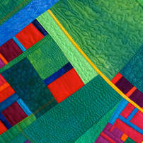
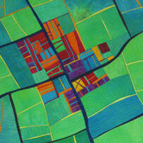
For many years I have explored the world of maps and aerial views, using the techniques of improvisational cutting and stitching, and fused collage. Some are interpretations of real maps, and some are completely imaginary.
Click on the thumbnail to see the full piece.
The earliest maps were made by our remote ancestors to help them locate sources of food, water, and shelter, using locally available materials. Later on, Ptolemy, Mercator, and others, made great progress by drawing more accurate maps. The invention of the printing press made maps widely available.
For many years I have explored the world of maps and aerial views, using the techniques of improvisational cutting and stitching, and fused collage. Some are interpretations of real maps, and some are completely imaginary.
Click on the thumbnail to see the full piece.
Blue Remembered Hills
The Island
|
Port at Dusk Diptych
Blue Harbour
|
Yorke 1611
Coming into Land
|
Canal Country
|
Mapping Earth
|
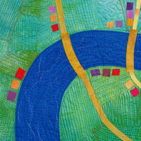
River Flow
|
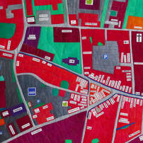
The City of Wells 2016
|
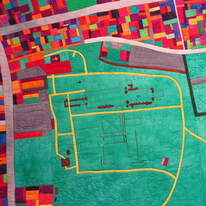
Glastonbury Town and
the Abbey Grounds
|